Ellis Beck · 28 October 2026
Mineral Surveys Ignite Zoning Conflicts for Coastal Resource Collectors
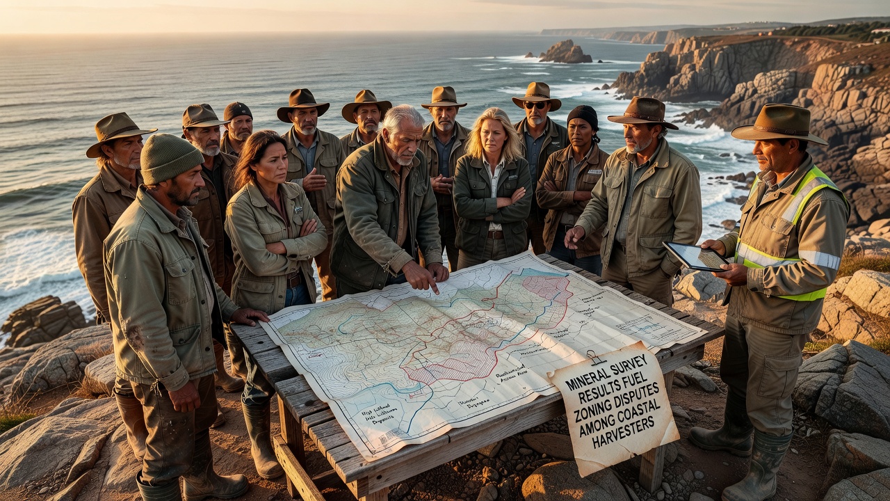
Recent mineral survey results have triggered zoning disputes among coastal harvesters who rely on traditional access to nearshore areas for their livelihoods, and these conflicts have escalated in several regions since the data became public in October 2026. Government agencies released detailed maps showing previously undocumented mineral deposits that overlap with established harvesting grounds, prompting local authorities to reconsider land use designations that have remained stable for decades.
Survey Data Reveals Overlapping Claims
Independent teams from multiple agencies conducted the assessments using sonar mapping and core sampling techniques, and the resulting reports indicate significant concentrations of commercially viable minerals in zones previously classified solely for aquaculture and shellfish collection. Harvesters who operate small vessels and gather resources by hand now find their customary routes intersecting with proposed extraction corridors, while regulatory bodies evaluate whether existing permits can coexist with new mineral development applications.
Coastal counties in North America and parts of northern Europe have begun holding public hearings to review the findings, and participants present evidence that shows how even minor boundary adjustments could restrict access during peak seasonal harvests. Data from the assessments also highlight sediment composition changes that might affect water quality parameters critical to the species these harvesters target, creating additional layers of concern for those who monitor environmental conditions as part of their daily operations.
Regulatory Responses Across Regions
Authorities in Canada have initiated reviews through provincial land use boards, whereas counterparts in Australia coordinate with federal marine planning offices to assess similar overlaps identified in their latest coastal inventories. These parallel processes demonstrate how survey outcomes can influence policy frameworks that balance resource extraction with longstanding community practices, and officials note that public comment periods extend through the end of the year to gather input from affected parties.
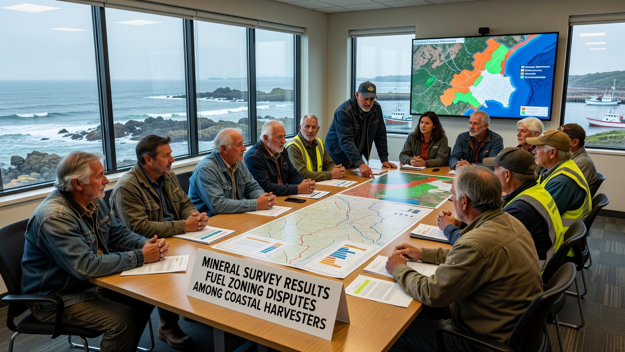
One study released by a research institution in Scandinavia examined comparable situations where mineral data prompted zoning revisions, and the analysis revealed that early stakeholder involvement reduced the duration of disputes by approximately 30 percent compared to cases where decisions occurred without broad consultation. Those who've tracked these developments observe that transparent sharing of raw survey files allows harvesters to identify specific parcels where adjustments might preserve access corridors without halting mineral exploration entirely.
Community Adaptation and Documentation
Harvesting cooperatives have begun compiling their own records of traditional use patterns, including GPS tracks of daily routes and seasonal yield logs, to submit during zoning deliberations. These grassroots datasets complement official mineral reports by illustrating the spatial and temporal dimensions of harvesting activity that automated surveys often overlook, and they provide concrete examples of how proposed boundaries would intersect with established operations.
Local governments respond by scheduling joint mapping sessions where technical experts overlay mineral deposit layers onto harvester-generated activity maps, and this collaborative approach has produced preliminary compromise zones in at least two pilot areas. Evidence from these sessions shows that combining multiple data sources leads to more precise boundary definitions that accommodate both mineral access and continued harvesting without requiring full exclusion of either activity.
Looking Ahead to Policy Adjustments
Further assessments scheduled for early 2027 will incorporate seasonal monitoring data to refine the initial survey conclusions, and agencies expect these updates to clarify whether mineral concentrations remain economically viable under the constraints of shared-use zoning. Harvesters continue to advocate for inclusion of their operational knowledge in future planning cycles, noting that long-term sustainability depends on maintaining viable access alongside any new development.
Conclusion
The interplay between mineral survey results and coastal zoning continues to evolve as additional data emerges and stakeholder groups refine their positions. Regional authorities maintain records of all submitted comments and mapping contributions, ensuring that subsequent decisions rest on comprehensive evidence rather than isolated findings. This process underscores the value of integrating diverse information sources when addressing overlapping resource claims in dynamic coastal environments.