
Quinn Krause · 30 September 2026
Coastal Land Use Clashes Emerge from Quartz Vein Discoveries
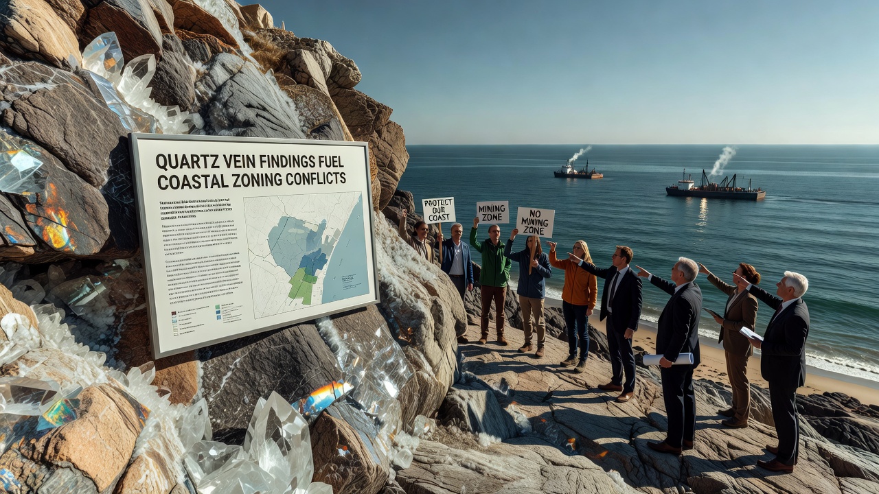
Geologists working along several shorelines have documented quartz vein systems that extend into zones previously classified for residential and recreational use only, and these discoveries have triggered formal reviews of local land management plans. Local planning commissions in multiple coastal districts began receiving updated geological surveys in early 2026, and the data prompted immediate calls for boundary adjustments. Communities that had operated under stable zoning maps for decades now face proposals that would reclassify parcels near these veins as areas requiring additional environmental assessments before any development proceeds.
Geological Context and Recent Surveys
Quartz veins form through hydrothermal processes that concentrate silica along fault lines, and coastal exposures often reveal these structures where erosion has stripped away overlying material. Teams from state geological surveys mapped several previously undocumented systems during fieldwork completed between March and August 2026, and the results showed vein widths ranging from two to eighteen meters in some locations. Researchers employed ground-penetrating radar and core sampling to confirm continuity beneath beach and dune environments, while satellite imagery helped identify surface expressions that align with older tectonic features.
Data compiled by the United States Geological Survey indicates that similar vein networks occur along the Pacific adn Atlantic margins, and the agency has published maps that local jurisdictions now reference during permit reviews. Australian state agencies have conducted parallel mapping programs, and their findings similarly highlight how these mineral features intersect with sensitive intertidal habitats. When planners overlay the new vein locations onto existing zoning layers, multiple parcels shift from low-density residential categories into designations that trigger stricter review processes.
Regulatory Responses and Stakeholder Meetings
County boards in affected regions scheduled public hearings starting in September 2026 to consider amendments that would expand setback requirements near identified veins. Staff reports presented at these sessions noted that extraction activities could alter groundwater flow and sediment transport patterns, and officials cited modeling studies showing potential changes to erosion rates if subsurface disturbance occurs. Representatives from environmental agencies attended alongside property owners and mining interest groups, and each side submitted written comments that became part of the official record.
One coastal municipality in the Pacific Northwest revised its interim ordinance in late August 2026, and the update requires any new construction within 150 meters of mapped veins to undergo geotechnical evaluation before permits issue. Similar language appears in draft documents circulating in Atlantic coast communities, where planning staff have cross-referenced the vein data with existing habitat protection overlays. Observers note that these revisions align with broader coastal management frameworks maintained by federal agencies, including guidelines from the National Oceanic and Atmospheric Administration that address mineral resource considerations in shoreline planning.
Impacts on Property Rights and Development Plans
Property owners whose parcels now fall inside revised buffer zones have submitted applications for administrative determinations, and several cases involve planned expansions of existing structures. Title companies have begun flagging the new geological data during real estate transactions, and appraisers report that some listings carry conditional language pending the outcome of zoning deliberations. Developers who purchased land under prior classifications have requested extensions on project timelines while they evaluate alternative site designs that avoid the sensitive areas.
Legal counsel for both landowners and conservation organizations have referenced prior court decisions involving subsurface mineral rights in coastal settings, and these precedents guide arguments about compensation and permitted uses. County attorneys have advised boards to maintain detailed records of all correspondence and studies, because future litigation may examine how the new information was integrated into decision-making processes. Meanwhile, real estate market data from the first half of 2026 shows no measurable shift in transaction volumes in the affected districts, though analysts continue to monitor listings that border the revised zones.
Environmental Considerations and Ongoing Research
Ecologists studying the same coastal stretches have documented how quartz vein exposures influence local microhabitats, particularly where mineral-rich groundwater seeps into adjacent wetlands. Ongoing monitoring programs initiated in 2025 continue to collect baseline data on water chemistry and sediment movement, and preliminary results suggest that natural weathering contributes measurable silica loads to nearshore waters. Researchers from several universities have partnered with state environmental departments to extend these studies through 2027, and they plan to publish comparative analyses once additional field seasons conclude.
International bodies such as the European Environment Agency maintain databases on coastal mineral occurrences, and planners in North America have consulted those resources when drafting assessment protocols. The overlap between vein locations and protected species habitats has led some districts to require seasonal construction windows that avoid nesting or migration periods. These measures appear in draft environmental impact checklists distributed to applicants whose projects intersect the mapped features.
Conclusion
Updated geological mapping has introduced new variables into coastal zoning frameworks, and jurisdictions continue to integrate the vein data into permitting workflows. Public records from September 2026 hearings show active participation from multiple stakeholder groups, and staff continue to refine ordinance language based on submitted technical reports. Future decisions will depend on the outcomes of these reviews and any additional surveys that refine vein boundaries.