Morgan Günther · 14 October 2026
Artists Convert Old Quarry Sites into Tools for Monitoring Coastal Sediment Shifts
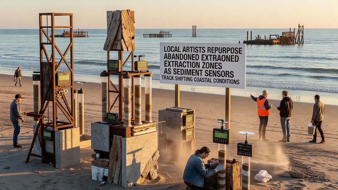
Coastal communities have turned to abandoned extraction zones for new monitoring projects, and artists play a direct role in designing structures that double as sediment sensors. These installations collect data on shifting sands, erosion patterns, and water movement while occupying sites left after mining and quarrying operations closed years ago.
Background on Extraction Sites and Coastal Changes
Abandoned pits and quarries often sit near shorelines where sediment transport affects beach stability and habitat conditions. Data from government agencies shows that many such sites experience increased tidal influence as sea levels rise, which alters how fine particles move along the coast. In regions like British Columbia, Canada, provincial reports document how former gravel operations now lie within zones of active sediment redistribution tracked by environmental monitors.
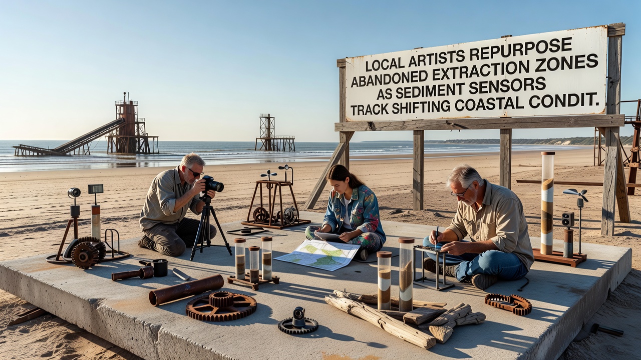
Artists began collaborating with geologists in 2024 to embed measurement devices into sculptural forms made from local stone and recycled materials. These works sit in the old extraction basins and record variables such as sediment depth, flow velocity, and particle size distribution. The approach avoids new construction on undisturbed land while providing continuous readings that feed into regional databases.
Technical Integration of Art and Sensors
Each installation incorporates pressure transducers, turbidity meters, and acoustic Doppler devices housed within weather-resistant frames. Artists shape the outer structures so they blend with surrounding rock formations, yet the frames allow water and sediment to interact with the instruments inside. Calibration occurs through partnerships with university engineering departments that verify accuracy against established benchmarks.
Readings transmit wirelessly to shore-based stations every six hours, creating datasets that span multiple tidal cycles. October 2026 marks the first full year of continuous operation for several projects along the Pacific coast, where cumulative records now show seasonal spikes in suspended sediment following storm events. These patterns match observations from similar sites monitored by Environment and Climate Change Canada.
Community and Research Partnerships
Local municipalities supply permits that allow artists to access the sites under environmental oversight. In return, raw data streams go to public portals maintained by coastal research centers. One project near Port Hardy, British Columbia, links directly to the Pacific Institute for Climate Solutions at the University of Victoria, where analysts compare sensor outputs against satellite imagery of shoreline change.
Similar efforts appear in Western Australia, where artists worked with the Department of Water and Environmental Regulation to place sensor sculptures in disused limestone quarries. Those installations track sediment movement toward the Indian Ocean and supply figures that support state coastal management plans. Cross-referencing between the two regions reveals consistent responses to increased wave energy during winter months.
Data Applications and Future Expansion
Collected information supports models that predict how sediment budgets affect nearby wetlands and infrastructure. Engineers use the readings to adjust beach nourishment schedules, while biologists reference turbidity trends when assessing conditions for fish spawning grounds. The artistic component draws public attention during site tours, which explains the monitoring process without requiring separate educational programs.
Expansion plans call for additional sites in 2027, with designs that incorporate solar panels to power extended sensor networks. Funding comes through grants administered by national science foundations in both Canada and Australia, ensuring standardized data formats across projects. Observers note that the combined artistic and scientific use of these zones reduces pressure on active coastal land while generating measurable environmental records.
Conclusion
Repurposed extraction zones now function as distributed monitoring stations where artistic installations house equipment that tracks sediment dynamics. Records from October 2026 onward continue to feed into broader coastal assessments conducted by agencies and research institutions. The method demonstrates how existing sites can support ongoing observation without additional landscape disturbance.